

Gravel roads often experience significant deterioration that requires costly maintenance. To mitigate this deterioration, transportation agencies can apply chemical stabilizers to improve aggregate cohesion. This project examined the mechanical, environmental and economic performance of five gravel stabilizers and three application methods to determine the best options for reducing deterioration.
Continue reading Evaluating the Use of Stabilizers on Gravel RoadsCategory Archives: research
General research posts.
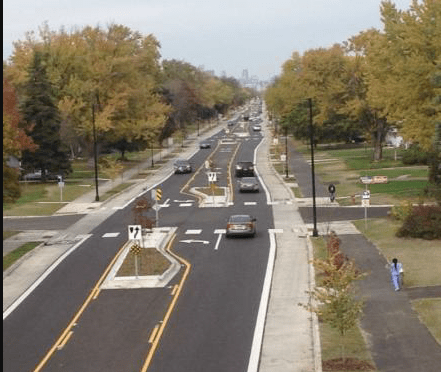
Integrating travel demand management into transportation planning
Reprinted from Catalyst, June 22, 2026
Minnesota’s transportation landscape is rich with options designed to get travelers to their destinations safely and quickly. These modes, ranging from commuter bike trails and public transit to rideshares, buses, rail, roads, streets, and highways, are strategically interlinked; improvements or disruptions in one place reverberate across the greater transportation network.
Travel demand management (TDM) is an approach to transportation planning that encourages more efficient travel through a combination of mode choice and infrastructure design. This “big picture” approach centers the specific needs of local communities to create viable options for people to shift away from single-occupancy vehicles for at least some trips. Among the benefits of more efficient road use are improved congestion and air quality and reduced costs for road maintenance and construction.
A UMN research study led by Kaitlyn Denten, infrastructure policy researcher at the Institute for Urban and Regional Infrastructure Finance within the Humphrey School of Public Affairs and a CTS scholar, aimed to investigate how TDM strategies can best be integrated into highway construction projects.
In Minnesota, two factors are bringing the TDM approach to the forefront. The Transportation Greenhouse Gas Emissions Impact Assessment (Minn. Stat. §161.178 [2025]) is now part of highway construction and reconstruction projects. This statute requires projects to meet state greenhouse gas (GHG) and vehicle miles traveled (VMT) goals by either modifying the project, halting the project, or offsetting the GHG and VMT created by the project.
Additionally, the Metropolitan Council, through its 2023 Regional Travel Demand Management Study Action Plan, recommended that a study be conducted to identify how TDM strategies could be incorporated into all phases of highway construction. The Met Council’s goal is to improve commuting, meet climate objectives, and reduce or delay the need for costly highway expansion projects.
In response to the Met Council’s recommendation, the UMN research team first conducted a nationwide scan to identify best practices for integrating TDM into highway projects. Examples in Colorado, California, New Jersey, Delaware, and Washington show how local, state, and federal transportation agencies and other entities coordinated to better understand local travel patterns and solve complex challenges. The scan revealed how TDM has been used to inform planning and policy, improve design and construction, encourage mode choice, and manage demand or emergency situations.
The researchers also studied Minnesota examples. The 2007 collapse of the I-35W Bridge in Minneapolis diverted 140,000 daily commuter trips. MnDOT, the Met Council, and regional stakeholders created travel alternatives from the time just after the collapse through the bridge’s reconstruction, which was completed in September 2008. TDM strategies included new transit services, fare subsidization, teleworking programs, and expanded park-and ride facilities.
In Duluth, a more northern expanse of Interstate 35W became a “mega project” between 2010 and 2012. During this time, 3 bridges and 12 miles of roadway pavement were replaced, shoulders and safety features were added, and intelligent transportation systems components were installed for emergency communications. TDM strategies helped facilitate communications between local and state entities, transit services, and the MnDOT construction teams to improve travel alternatives and ease the flow of traffic during this prolonged disruption.
TDM is becoming a more defined and important part of future transportation planning. “Ultimately, integrating TDM into highway projects enhances travel options and creates modal choices for travelers,” Denten says. “This reduces delay during peak times and improves safety and efficiency for construction crews. It can also remove the need for travel and push travel to non-peak times. Further, holistic TDM approaches for highway construction projects could lead to more efficient transportation systems and perhaps delay or remove the need for a highway project in the first place.”
The study offers best practices to help policymakers, planners, engineers, and local officials within the Metropolitan Council and beyond incorporate TDM into their projects. These strategies provide opportunities to shape policies and projects that respond to unexpected and intermittent challenges while supporting Minnesota’s long-term goals of reducing highway construction costs, climate impacts, and travel disruptions.
This research project was sponsored by the Applied Research in Transportation (ART) Program, which addresses time-sensitive research questions in a 6- to 12-month timeframe. CTS and the Minnesota Department of Transportation contributed initial funding to launch this pilot program in 2024, with the Metropolitan Council joining in 2025. To reinforce the applied nature of the program, ART projects must directly address a current process, document, or policy need with an initial focus on sustainability in transportation and climate change impacts.
—Amy Goetzman, contributing writer
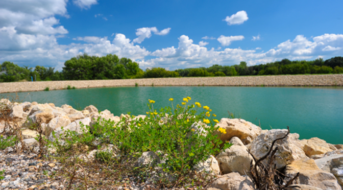
Reducing Phosphorus Pollution from Ponds
Ponds and historic wetlands are essential for preventing excessive phosphorus from reaching downstream waters. These systems remove solids, nutrients, metals and hydrocarbons from stormwater runoff as particles settle to the bottom. However, low oxygen levels in the water can cause phosphorous to be released from bottom sediments. This project examined the effectiveness of strategies to limit that release and reduce negative downstream impacts.
Continue reading Reducing Phosphorus Pollution from Ponds
New Project: Are Current Rigid Pavement Roundabout Designs Working in Minnesota?
As roundabouts become more commonplace in Minnesota, the role they play in the improvement of traffic flow and safety increases. Although rigid roundabouts were originally designed with the assumption that they would behave like rigid pavements on motorways, their performance can be affected by the unique traffic patterns and stresses they experience. The irregular shapes of their concrete slabs face distinct braking, stopping, accelerating, and drainage conditions, which increase the likelihood of cracking and other forms of pavement distress. Heavy trucks navigating sharp curves add additional strain. While concrete pavements are generally durable, pavement wear is greatly affected by elements characteristic of roundabout design.
This research seeks to evaluate and improve the performance of concrete roundabouts in Minnesota, with the aim of extending their service life and increasing their overall effectiveness. The project will start with a comprehensive field survey throughout the state, collecting information on different roundabout designs and documenting the types and levels of pavement distress present. The data will be analyzed to identify performance trends and gain a clear understanding of each design’s advantages and shortcomings. In addition to the field investigation, the study will conduct an in-depth structural review of factors such as joint spacing, dowel bar placement, slab geometry, and drainage features.
Using insights from both the field observations and structural analysis, researchers will propose design strategies to improve the durability of Minnesota’s roundabouts. These recommendations have the potential to strengthen roundabout design practices and contribute to a safer, more dependable transportation system.
“With the rapidly growing number of concrete roundabouts being constructed throughout Minnesota, it is important that we monitor their performance and adjust our design methodologies to ensure that the traveling public can utilize them safely, while maximizing the investments spent on their construction and maintenance,” said Thomas Burnham, research operations engineer with MnDOT’s Office of Materials and Road Research. “This research project is set up to accomplish these goals.”
The Objectives:
- To measure rigid pavement roundabout performance for various traffic loads and design features.
- Using pavement system performance data, identify any design changes that could minimize maintenance.
- Create state-of-the-art guidelines and recommendations for improving the design, function and lifespan of concrete roundabouts in Minnesota.
Project Details:
- Start Date: 05/23/2025
- Estimated Completion Date: 05/31/2027
- Funding: MnDOT and Local Road Research Board
- Principal Investigator: Qingli (Barbara) Dai
- Co-Principal Investigators: Quang Tran, Zhanping You
- Technical Liaison: Thomas Burnham
Details of the research study work plan and timeline are subject to change.
To receive email updates about this project, visit MnDOT’s Office of Research & Innovation to subscribe.
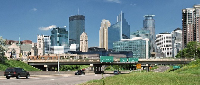
Exploring the Factors Driving Vitality in Transportation Corridors: Lessons from Minnesota
Thursday, July 16, 2026, 10:00 am–2:00 pm
Bell Museum
The Nucleus Conference Room
2088 Larpenteur Avenue West
Saint Paul, MN 55113
About the Event
In a follow up to a March webinar, Economic Impacts of Freeway Corridors, this in-person event will share preliminary findings from an ongoing MnDOT research project studying the economic impacts of freeway corridors. There are many discussions about rethinking freeway corridor designs in Minnesota and nationally. Economic impacts should be considered when selecting a design alternative, but these are difficult to quantify. This research aims to provide a framework to better estimate the impacts of freeway corridor alternative projects by also considering mode, scale, land uses, community engagement practices, and environmental impacts.
Sponsored by the Institute for Urban and Regional Infrastructure Finance (IURIF) at the Humphrey School of Public Affairs, this event will focus on community engagement around infrastructure transformation. Presenters will discuss the intersection of 38th and Chicago in Minneapolis and share insights about how MnDOT approaches engagement for projects in Northeast Minnesota. In addition, IURIF researchers will lead an open discussion of each facet of the research around the economic impacts of freeway corridors, including community engagement, land use, environmental aspects, and socioeconomic impacts.
Speakers
Alexander Kado is a senior project manager with the City of Minneapolis Office of Public Service, where he oversees critical infrastructure investments shaped by community voice. He is currently directing two legacy projects of immense civic significance: the redevelopment of George Floyd Square and the creation of the Minneapolis Democracy Center — a transformation of the former Third Precinct building into a space for civic participation. Guided by a commitment to equitable urban outcomes, Alexander bridges technical precision with social advocacy. He holds a master’s degree in city and regional planning from the University of North Carolina – Chapel Hill and a BS in mechanical engineering from the University of Minnesota Twin Cities.
Duane Hill is a 1988 graduate of North Dakota State University with a BS in civil engineering. He has more than 38 years of engineering experience, mostly in the transportation field with the Minnesota Department of Transportation. Duane’s experience includes highway design, project management, environmental, construction engineering, bridge engineering and field operations management. Duane has been the district engineer in MnDOT District One since March 2012.
Registration
The event is free, but registration is required.
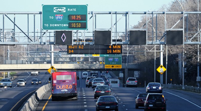


Webinar shares industry and international perspectives on AI integration
May 26, 2026
Artificial intelligence (AI) is increasingly shaping how transportation and infrastructure projects are planned and delivered—and how information about them is shared with the public and stakeholders. A recent CTS webinar highlighted examples in these areas, from a large-scale urban development in Finland to communications and public engagement practices among U.S. agencies.
Some transportation agencies and project teams have reported that they value AI for its ability to manage and make sense of large, complex data. Large infrastructure efforts generate massive amounts of information across design, construction, finance, safety, and public input. AI can connect and interpret this data and improve efficiency in routine tasks.
AI can also support more consistent and informed decision making. AI tools, such as project-specific knowledge networks, can make sense of scheduling risks, sustainability gaps, or recurring public concerns that might otherwise go unnoticed. These tools can improve service to the public by enabling faster responses through chatbots and translation.
Nicole Moon, strategic communications lead for engineering consultant HDR’s highways and roads division, described how AI supports transportation industry professionals in their day-to-day work. Rather than replacing human judgment, communications and public relations professionals use AI tools to draft content and streamline workflows, often improving efficiency, she said.
“Whatever day-to-day problems you have, you could probably find a way to use AI to solve it, but I would challenge people to consider whether that’s the right approach,” Moon said. “There are risks. As a communicator, I don’t want to lose the human side of what we do—that connection piece.”
To offer an international perspective, Tomi Kotala of the City of Helsinki’s public works department and Pieti Marjavaara of consulting and design firm AINS Group presented on the Infrastructure Programme Helsinki, an initiative focused on building a more sustainable city through light-rail expansion and transit-oriented development. The nearly decade-long project is set to run from 2025 through 2033.
Marjavaara introduced “Project AI,” a structured framework for integrating AI into the Infrastructure Programme Helsinki.
“First we teach people what AI is, and then we teach AI how to build in Helsinki,” Marjavaara said. He emphasized the importance of training staff in both the ethical use of AI and the practical adaptation of tools to fit project goals.
Kotala and Marjavaara both stressed that AI should be understood as part of a broader commitment to sustainable and ethical development.
“We want to be carbon aware, nature positive, and resource wise,” Kotala said. “We want to be harm-free for people and the environment, both during construction and in the final product.”
In their daily work, staff interact with a project-specific AI chatbot embedded within a broader “context sphere,” also known as a knowledge network, that draws from live Slack conversations, formal documents, task logs, and other project data. The chatbot, nicknamed “Bob,” uses this shared context to generate informed responses in its conversations with staff.
“We want to take the next step. So that’s why we are bringing AI, and, of course, we want to be responsible … [and use] it in a sustainable way and an ethical way I,” Marjavaara said. “We want everybody to be part of our AI journey.”
This webinar’s discussion built on CTS’s December 2025 webinar, Preparing Transportation Professionals for AI Integration.
—Olivia Hanson, CTS associate editor
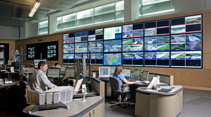
Preparing the Transportation Workforce for Emerging Technologies: A Guide
Transportation agencies are facing rapid technological change—from artificial intelligence and machine learning to connected and automated vehicles, data governance, cybersecurity, advanced communications, and emerging analytical tools. These technologies are transforming how transportation systems are planned, operated, and maintained, while simultaneously reshaping workforce needs. This guide from the National Cooperative Highway Research Program offers practical strategies and resources to recruit, develop, and retain a workforce capable of adopting and leveraging emerging technologies.
Industry Challenges
As new technologies proliferate, agencies struggle with a number of overlapping challenges.
- Outdated organizational structures and siloed departments
- Skill gaps in advanced technical areas
- Difficulty competing with private-sector salaries
- Limited awareness of transportation tech careers among students
- Pipeline shortages due to retirements and evolving skill demands
The guide categorizes these challenges into three core areas: Institutional Agility, Staffing Adaptability, and Workforce Pipeline.
1. Institutional Agility
Agencies must evolve organizational flexibility to integrate new technologies into their existing practices. There are a number of steps they can take to help with this.
- Build multidisciplinary teams to break down silos and improve collaboration across planning, operations, IT, and field staff.
- Modernize organizational structures and culture, including job rotations, co-location, communities of practice, refreshed licensure requirements, and skills-based management.
- Develop business cases for new positions, such as data analysts, AI specialists, cybersecurity roles, and system engineers.
- Enhance benefits packages beyond salary—highlight flexibility, professional development, hybrid schedules, innovation opportunities, and mentorship.
2. Staffing Adaptability
While the agency must modernize its processes, it must also provide a way for staff to develop the required skills to navigate new requirements. Should they hire, contract, or provide development channels for existing staff? The report has some suggestions.
- Identify and formalize emerging positions across traffic operations, data analysis, IT/OT, hardware maintenance, policy/innovation, and design/construction.
- Use a decision tool to determine whether to upskill current staff, hire new staff, or outsource work based on urgency, core function, and internal capacity.
- Develop and promote new career paths that incorporate technical and soft skills, including leadership, communication, and innovation.
- Leverage vendor contracts to include staff training, system handoff support, and access to vendor training sessions.
- Recruit from adjacent industries with transferable skills—IT, telecommunications, military, emergency management, gaming, and manufacturing.
- Connect staff to professional organizations and national training programs to keep technology skills current.
3. Long-term Workforce Pipeline
In addition to responding to immediate needs in the organization, the agency should look at strengthening the long-term talent pipeline with education partners.
- Build partnerships with K–12, community colleges, trade programs, and universities through advisory committees, career fairs, mentorship, and public awareness campaigns.
- Expand internships, apprenticeships, faculty exchanges, and hands-on training opportunities in emerging technology areas.
- Collaborate on curriculum modernization, integrating interdisciplinary programs that blend engineering, IT, data science, and policy.
- Invest in or share technology labs, equipment, and research opportunities to expose learners to real-world systems.
- Support research initiatives that incorporate workforce development, outreach, and student engagement.
Conclusion
Emerging technologies offer transformative benefits for transportation systems but realizing those benefits hinges on the workforce. Agencies must take proactive, structured steps to evolve their organizations, strengthen recruitment and retention strategies, and build sustainable talent pipelines. This guide provides a flexible, practical framework to help you look at your organization and think about how some of these ideas apply to it, and how they may help you develop your own strategy for improving how you prepare for emerging technologies.
Read the complete report:
NCHRP Research Report 1174 (website or PDF)
Additional resources
- MNLTAP Home | Minnesota LTAP (website)
- Expanding the Transportation Workforce: Roadway Maintenance Workers (PDF)
- Expanding the Transportation Workforce in Local Agencies: Awareness-Building Activities and Development of a Training Course Roadmap for Civil Technicians (PDF)
- Workforce Planning and Human Resource Development Strategies for Minnesota’s Public Transportation Agencies (PDF)
- Toolkit for a Career in Civil Engineering (PDF)
- Minnesota Summit on Civil Engineering Workforce Development (PDF)
- Minnesota Summit on Civil Engineering Workforce Development (PDF)
- Preparing for AI use in transportation | Center for Transportation Studies (PDF)

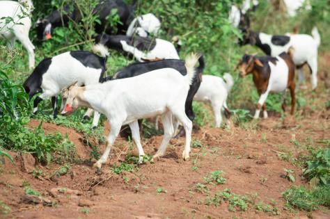
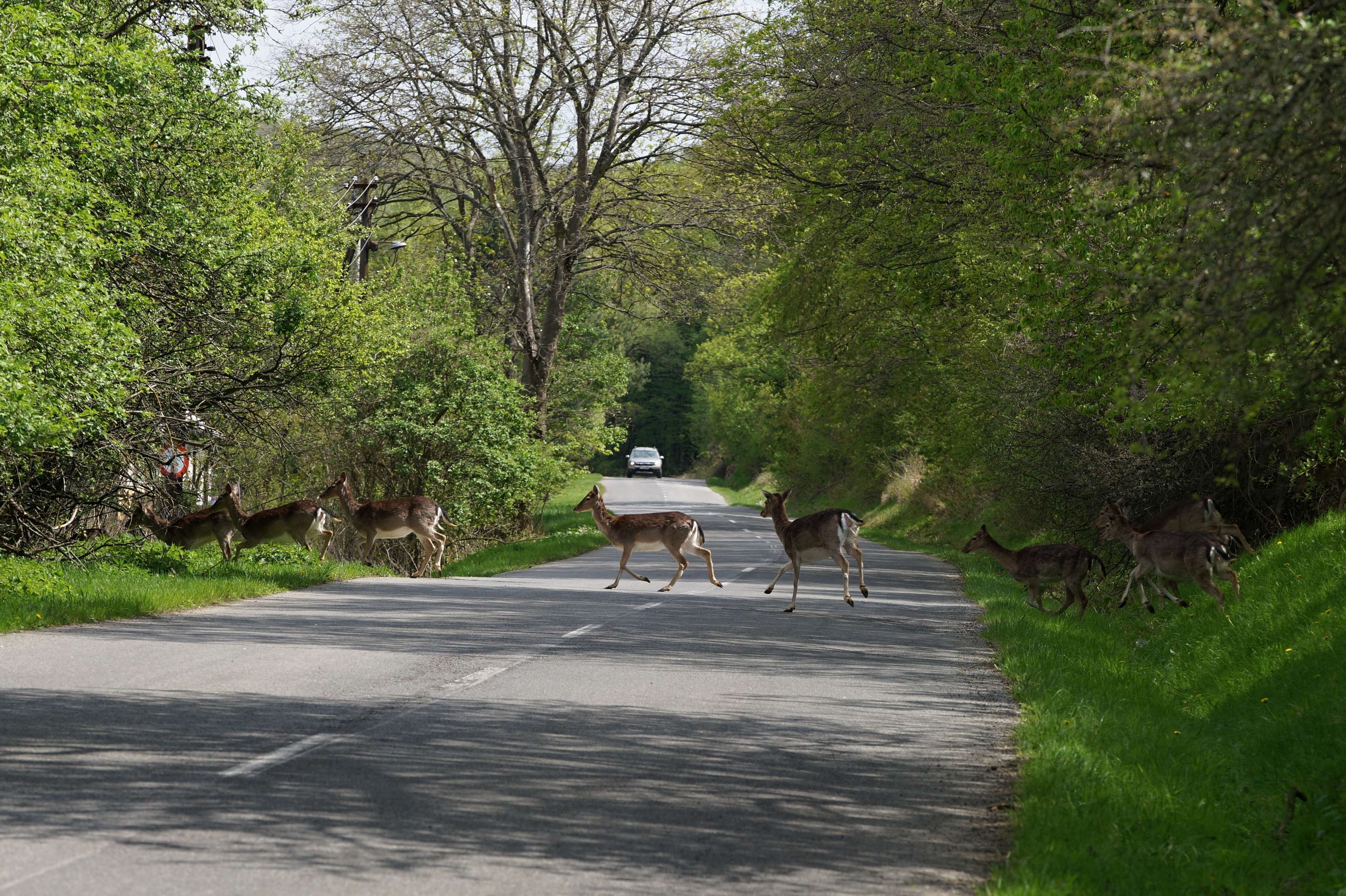
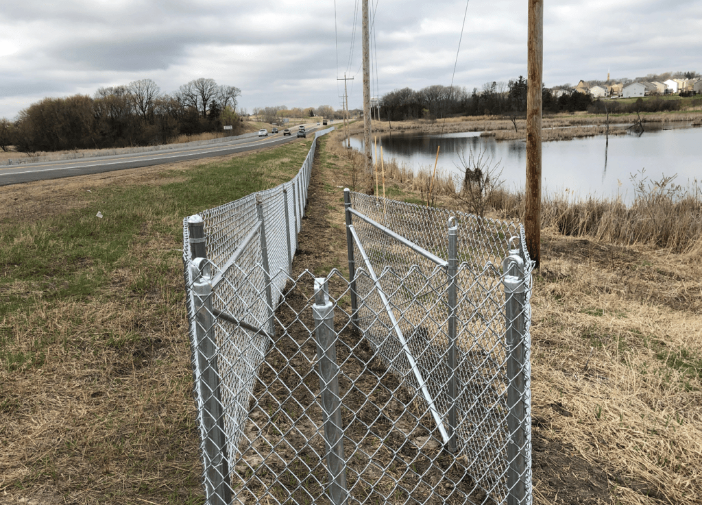
Protecting Wildlife Along Minnesota Roads
This week is Wildlife Casualty Count Week of Action in Minnesota. It highlights the impacts transportation systems have on wildlife and raises awareness of wildlife deaths resulting from vehicle collisions. Information about this effort can be found at: Wildlife Casualty Count Week
At MnDOT, we are committed to protecting wildlife through established practices and thoughtful planning. MnDOT works to minimize and mitigate impacts to protected fish, wildlife, and plant species in the design and construction of transportation projects. Read more about MnDOT’s commitment to protected species here: Wildlife – Environmental Stewardship
MnDOT’s Office of Research & Innovation supports research projects that advance wildlife protection and environmental conservation. These projects help inform how wildlife considerations are incorporated into transportation planning and construction. Explore projects guiding this work below:


Follow MnDOT’s Office of Research & Innovation to receive the latest updates in transportation research.

New Project: Understanding How Parking Space Requirements Affect Vehicle Miles Traveled
Minimum parking requirements were established in the mid-20th century to mitigate increased motor vehicle congestion but have the potential to contribute to urban sprawl, hinder development, and curb incentives for drivers to choose alternative travel modes. Eliminating or reducing these requirements can help remove excess parking supply, increase alternative modes such as transit ridership, reduce vehicle miles traveled (VMT), and enhance economic productivity. Decreasing VMTs directly mitigates emissions by reducing car travel distances and many VMT reduction strategies hold additional benefits such as increasing accessibility and reducing traffic congestion.
VMT reduction also plays a significant role in Minnesota’s efforts to reduce greenhouse gas emissions from the transportation sector. New legislation passed in 2023 requires reducing VMT up to 20% per capita by 2050. The impacts of parking space requirements or long-term benefits and challenges associated with modifying or removing these requirements have not been studied in Minnesota. This project will investigate, document, and advance the understanding of minimum parking requirements in Minnesota and the region and their impact on VMT reduction.
Researchers aim to establish recommended values based on differing types of land use and community context, e.g., urban, suburban, and rural within Minnesota. Specifically, this project will examine the long-term benefits and challenges presented by reducing and/or removing currently established parking space requirements with new or redevelopment projects, and opportunities for parking space reallocation with existing uses.
“This research aims to fill a critical knowledge gap, will modernize minimum parking requirements reduce vehicle miles traveled, and provide communities with more flexible land‑use options,” said Mark Vizecky, state aid operations engineer, State Aid for Local Transportation at MnDOT.
The Objectives:
- Perform literature reviews of historical and current practices, policy and requirements regarding parking space requirements in Minnesota and the Upper Midwest and of current best practices regarding parking space requirements and the impact parking has on land use and travel behavior.
- Interview local agencies and the League of Minnesota Cities to gain insight into current parking space practices, policies, and requirements across Minnesota.
- Conduct an online survey of business stakeholders to assess the potential economic impacts of parking policy changes regarding customer behavior, business density, operating costs, opportunity cost and sunk cost, and accessibility.
- Conduct a travel behavior and mode choice survey using a diverse group of daily commuters from Minnesota’s urban, suburban, and rural communities to understand the influence of parking policies on traveler behavior.
- Analyze survey responses using discrete choice modeling to develop utility equations for different parking requirements, which will help predict mode shifts and associated VMT reductions.
- Utilize travel demand model data from eight metropolitan planning organizations in Minnesota to assess how changes in parking requirements could impact VMT reduction.
- Analyze the sensitivity and data requirements for a parking space requirement that will be effective for local use and develop a toolkit for local municipalities to assess parking needs and the economic impacts of parking policies in local communities.
Project Details
- Start Date: 06/02/2025
- Estimated Completion Date: 04/30/2027
- Funding: Local Road Research Board (LRRB)
- Principal Investigator: Kakan Dey
- Co-Principal Investigators: Subasish Das, Ali Zockaie
- Technical Liaison: Mark Vizecky
Details of the research study work plan and timeline are subject to change.
To receive email updates about this project, visit MnDOT’s Office of Research & Innovation to subscribe.

