If you have spent any time driving on Minnesota roads and highways lately, you know that road construction work zones are all over the place. They can contribute to traffic delays and require vigilance to ensure the safety of both drivers and workers.
MnDOT and the Minnesota Local Road Research Board (LRRB) are doing their best to make work zones more efficient and safer for crew members and the traveling public alike.
Here’s a roundup of some of the great work zone safety projects under way or recently completed:
New – Temporary Traffic Control for Low Volume Roads
 City and county workers sometimes have trouble determining how to select the appropriate work zone for low traffic roads. The Minnesota Local Road Research Board (LRRB) recently published two supplemental guidebooks to help local agencies identify the appropriate work zone layout for low-volume urban and rural roadways based on the maintenance activity. The guides are intended to supplement MnDOT’s 2014 Temporary Traffic Control Zone Layouts Field Manual.The LRRB has also requested changes to the field manual for low-volume roadways in a letter to the MN Committee on Uniform Traffic Control Devices.
Smart Work Zone Speed Notification
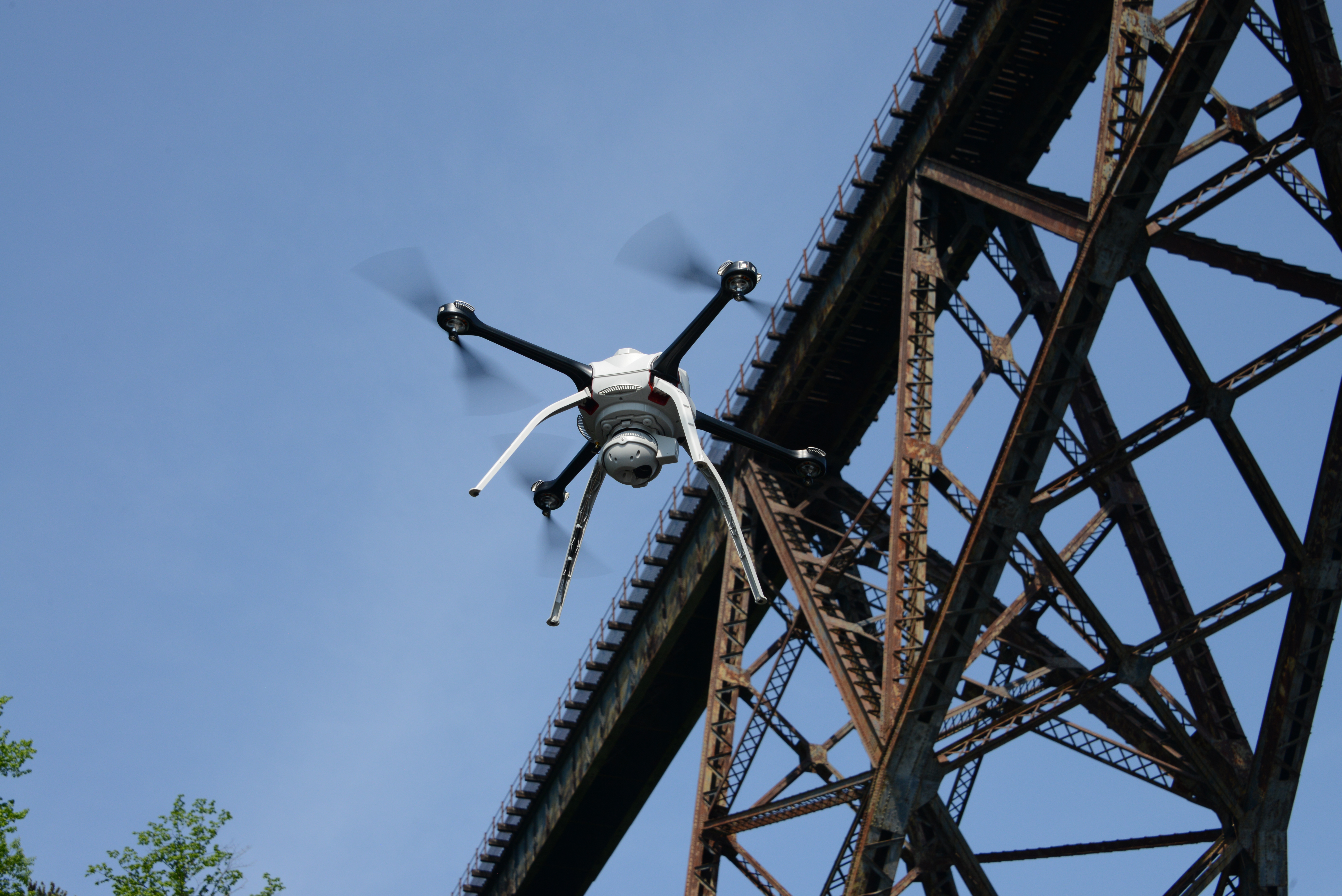
MnDOT is testing a system on I-94 this summer that it hopes will reduce work zone crashes by raising driver awareness of upcoming congestion. Systems with the same purpose have been tested in rural work zones, but mostly applied to locations where backups were predictable.
The Smart Work Zone Speed Notification System will take a different approach, informing drivers of the speed ahead, as opposed to a variable speed limit system tested previously on I-94, which also detected congestion but provided advisory speeds to drivers. It is envisioned that the new system will have greater success in reducing rear-end crashes on large, urban freeway work zones.
The new system is being tested and evaluated on I-94, east of downtown St. Paul, during work to replace and repair the roadway.
NEW – Speed Cameras in Work Zones
 Police enforcement and speed limits are the main method of reducing the speed of drivers in Minnesota work zones. While this practice is effective, reducing speeds by approximately 10 to 15 mph, it is not practical to staff every work zone with law enforcement. As an alternative, some states are using automated speed enforcement cameras in work zones.
Automated speed enforcement cameras have been shown to reduce speeds in work zones, but such research did not evaluate how the cameras impact driver attention.
This study explored driver awareness and found that automated speed enforcement cameras in work zones are not a source of driver distraction. It also revealed differences in work zone driving behavior: Older drivers were least able to follow another vehicle closely, while younger drivers were least likely to monitor their speed carefully.
NEW – Reducing Work Zone Delay by Improving Traffic Models
 Accurate estimation of delays caused by lane closures on highways is critical important to effectively manage traffic flows around work zones.
A recent study, completed in March 2016, improves methods for estimating reduced traffic capacity and diversion rates for highway work zones.
Researchers analyzed traffic patterns from past work zones in the Twin Cities metro area and were able to develop a tool that can estimate estimate traffic diversion for a given work zone.
The next step is an implementation project to test and streamline the software.
Work Zone Intrusion Reporting
 Work zone intrusions — when traveling vehicles enter the work space of a work zone — are a clear safety concern even if they do not result in an accident, and they may indicate locations where future accidents are likely.
MnDOT was interested in learning how other state DOTs collect work zone intrusion data, both the technology used for data collection and the specific information they collect.
This Transportation Research Synthesis (TRS), completed in June 2015, surveyed state DOTs and conducted follow-up interviews with states that collect work zone intrusion data. The survey found that the relatively small number of states that do collect intrusion data typically do so via paper or electronic form.
As a result of the TRS, a recently funded research project proposes to develop a simple method to track and gather information on work zone intrusions. The aim of this process will be to produce a reporting interface (in the same vein as the Crash Report Usability And Design Project for the Department of Public Safety) that gathers essential information without being onerous to work crews.
Auto Flaggers: Keeping Crews Safe, Saving Manpower
Training was provided to introduce MnDOT maintenance workers to Automatic Flagger Assistance devices, which can improve safety in work zones by allowing flaggers to provide traffic guidance without having to be in the flow of traffic.
Using a remote control, a single worker can easily operate two AFADs simultaneously, freeing up personnel to perform other tasks and speed up the completion of a road project, the pilot study found. MnDOT estimates that the resulting cost savings can cover an AFAD’s purchase costs within two years.
MnDOT has planned a project to determine whether it is feasible to use a self-propelled device to push or pull an AFAD so it can be used in moving operations such as patching potholes or cracks, which make up more than half of MnDOT’s flagging operations.
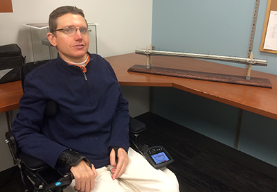
Using Smartphone and Bluetooth Technologies to Help the Visually Impaired Navigate Work Zones
 In a study released in February 2014, researchers developed and tested a new system to provide audible messages to visually impaired pedestrians for navigating work zones.
The system uses Bluetooth beacons attached to work zone infrastructure that sends messages to a pedestrian’s smartphone app rather than the traditional method of beeping buttons that announce a message when pressed.
Technology to Alert Drivers to Work Zones
 By creating a tactile vibration and sound, rumble strips effectively alert distracted drivers to potential danger. However, they are not suitable for moving operations because repositioning them is too labor-intensive. MnDOT needed a method of alerting drivers about upcoming work zones that is more dynamic than
static signs but is portable and can be used in a moving work zone.
The Intelligent Drum Line system, developed in a 2012, could significantly improve work zone safety by relaying audible and visual warnings from traffic drums to speeding drivers as they approach. Further development is needed to ensure the system is cost-effective and portable to serve MnDOT’s needs.