

Those who use the roads in Minnesota are generally those who pay for them — through gasoline and vehicle taxes.
But motorists aren’t the only ones who benefit when a new interchange is built or a highway is improved. Home and business values along the corridor go up and the price of undeveloped land can skyrocket.
With highway funds strapped, a new method of funding road expansion, called “real estate value capture,” is garnering attention.
This emerging technique strives to identify beneficiaries of transportation improvements beyond just the highway user, so they provide their fair share of the costs — a concept not dissimilar from residential street assessment.
For instance, a local government might dedicate the additional property tax revenue generated due to a new highway to offset some construction costs, or collect fees on land that is developed near an interchange.
However, value capture is a relatively new technique that has been used primarily for transit projects. To be considered for roads or bridges, questions need to be addressed about potential revenue, impacts and public acceptability.
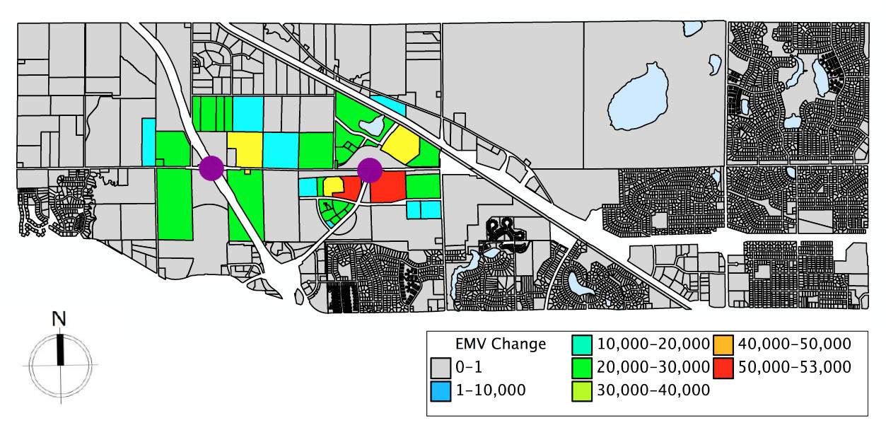
In a new case study, researchers use a long-delayed planned extension of Highway 610 in Maple Grove to model the impact of a completed highway on nearby property values, and, for the first time, quantify the potential revenues from several value capture strategies.
With properties near new highway exits worth an additional $65,450 more per acre, researchers calculated that $37.1 million in revenue could be generated through assessments on existing development and impact fees for future development.
Other strategies explored include tax-increment financing and private-public development of undeveloped parcels, in which revenue generated by that development is split.
“This research demonstrates a way to estimate the value of transportation improvement and to communicate that to the public,” said principal investigator Jerry Zhao, an associate professor of public administration at the University of Minnesota’s Humphrey School of Public Affairs.
Study links:
- Real Estate Value Capture: An Emerging Strategy to Pay for New Transportation Infrastructure – Technical Summary (PDF, 1 MB, 2 pages); Final Report (PDF, 5 MB, 36 pages).

Reblogged this on Thoughts on the Urban Environment and commented:
MnDOT considers value capture along 610 in Maple Grove.
OK, you tax manipulators, STOP, just stop. Stop making up new machinations to tax us and use the transportation taxes you already collect to pay for roads and bridges, interchanges etc instead of bike paths and lanes and mass transit.